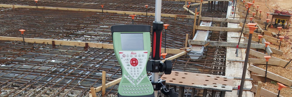
Surveying Services

Boundary Survey
Lets you determine the property lines and corners of your piece of land, extent of an easement, position of existing structures relative to the boundary, subdivide your property into any number of new parcels due to parental division, court order, or subdivision development, or any other possible land issues.
Topographic Survey
Provides you with a survey data and map of your property showing the existing grade, slopes, vegetation, structures and other natural and man-made features that engineers and architects use to complete their design.
Hydrographic Survey
Provides you with sounding data and map that shows how deep is the water in a particular area such as a river, wharf, port or a coast. Extent and volume of dredge material can be computed and mapped.
Construction Survey
Lets you layout a house or a building, roads, pavement, parking lots, utility lines, pier, runway and other specialized structures prior to, during and after construction.
Engineering Survey
Lets you determine the extent of a wetland area as determined by an environmental professional, the position and elevation of test wells and cleanup sites and dump sites, monitor structures for movements in both horizontal and vertical plane among others.